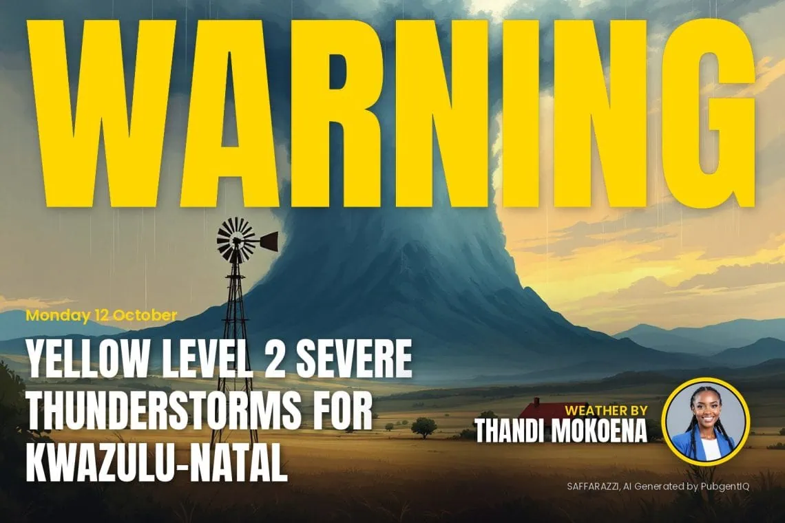
The South African Weather Service has issued a Yellow Level 2 warning for severe thunderstorms in KwaZulu-Natal, from 12:00 on Tuesday 13 October, valid until 23:59 on 13 October.
Yellow level 2Severe ThunderstormsUnderberg, Kokstad, Impendle + 10 more · from 12:00 on Tuesday 13 October, valid until 23:59 on 13 October▼
Areas
- Underberg
- Kokstad
- Impendle
- Donnybrook
- Camperdown
- Margate
- Richmond
- Pietermaritzburg
- Ixopo
- Pennington
- Harding
- Umzimkhulu
- St Faith's (Cathula)
Expected impacts
- Localised damage to infrastructure and settlements.
- Localised flooding of susceptible roads and bridges.
- Minor motor vehicle accidents due to slippery roads and poor visibility.
- Difficult driving conditions on dirt and slippery roads.
- Large amounts of small hail/ large hail over an open area.
- Localised fire incidents.
What to do: Take caution or avoid traveling on bridges and roads in low lying areas as these may be susceptible to flooding and there may be sinkholes. Avoid outdoor activities as lightning, hail and flooding may result in injuries and death. If possible, stay indoors well clear of windows, shelter pets, and cover vehicles. Move livestock and cars to safe sheltered areas as there may be flying debris.
Yellow level 2Severe ThunderstormsMatatiele, Mount Ayliff, Ntabankulu · from 13:00 on Tuesday 13 October, valid until 23:59 on 13 October▼
Areas
- Matatiele
- Mount Ayliff
- Ntabankulu
Expected impacts
- Localised damage to settlements, property, temporary structures.
- Localised disruption to power and communication supply.
- Localised flooding of roads and low-lying bridges.
- Loss of livestock and crops.
- Danger to life.
What to do: If possible avoid traveling, stay indoors away from metal objects.
Secure lose objects before thunderstorms start.
Do not seek shelter under trees or tall objects.
Do not cross flooded areas.
Keep listening for updates.
How SAWS weather warning levels work
The South African Weather Service issues impact-based warnings. They say what the weather could do to people, roads and homes, not only how strong it will be. Each warning has a colour and a level from 1 to 10.
- Yellow (Levels 1 to 4): minor to moderate impact. Local disruption such as flooded streets, travel delays or damage to informal homes. Stay alert.
- Orange (Levels 5 to 8): significant impact. Major travel problems, power cuts, flooding in low-lying areas and damage to property are likely. Prepare and take action.
- Red (Levels 9 and 10): severe impact. Widespread flooding, washed-away roads, damaged buildings and danger to life. Take emergency precautions at once.
The number also reflects how likely the impact is, so two warnings of the same colour can differ in how likely they are to happen. Always follow SAWS and your local disaster management.